
Surveying in Grafton
- Surveying
- Accurate boundary, topographic and engineering measurements.
- Town Planning - Expert guidance through zoning, regulations and approvals.
- Project Management - Complete oversight of projects from start to finish.
Start Your Project with Confidence
Delivering Exceptional Outcomes
We provide comprehensive surveying, town planning and project management services to meet the diverse needs of property developers, architects, landowners and construction professionals.
Our expert team combines technical precision with local knowledge to deliver tailored solutions for projects of any scale. From accurate land measurements and mapping to navigating complex planning regulations and managing end-to-end project execution, we ensure efficient and high-quality results.
Whether you’re planning a subdivision, a new development or a large-scale civil project, our integrated approach saves you time, resources and effort. Trust us to support your vision and deliver exceptional outcomes on every project.
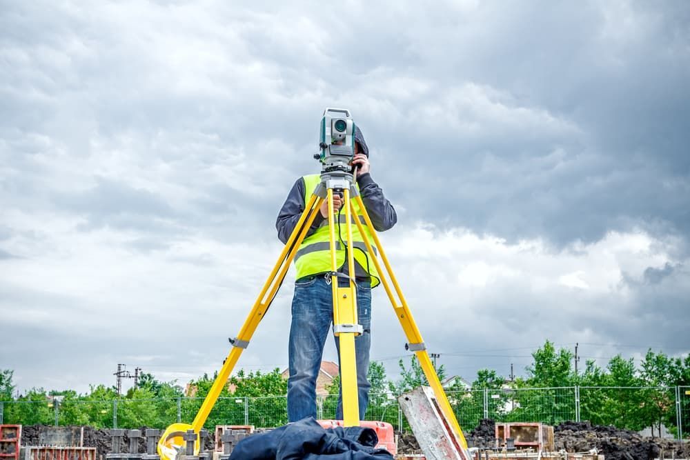
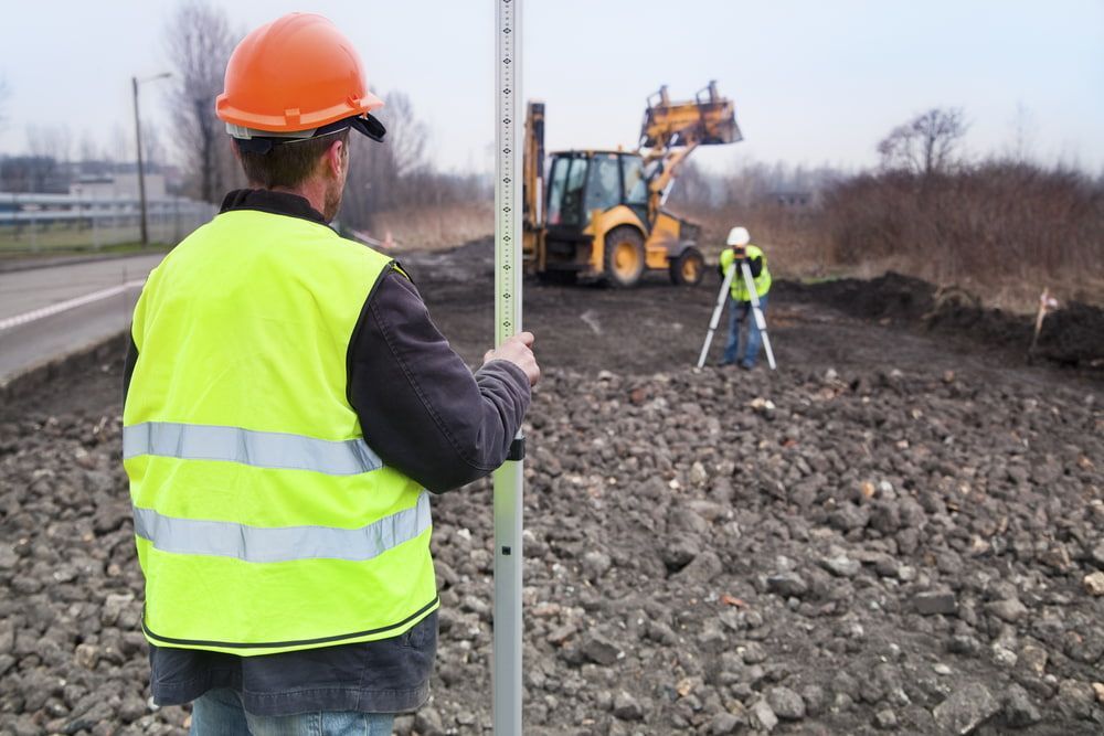
Providing Precise Surveying Services
Our precise surveying services include boundary, topographic and engineering surveys. We deliver accurate measurements and detailed mapping to support construction, development and legal property requirements.
Whether for a residential subdivision or a large-scale infrastructure project, our surveying expertise ensures a reliable foundation for informed decisions and successful project execution.
Strategic Town Planning
With our expert town planning services, we guide projects through local zoning laws, regulations, and approval processes. Our team ensures land use is optimised while meeting all community and government requirements.
This expertise helps streamline approvals, reduce delays, and support efficient development for projects of any size or complexity.

Our Project Management Services
Our project management services cover every stage, from initial planning to final delivery. We coordinate teams, budgets and timelines to ensure seamless execution and high-quality results. By providing efficient oversight and expert guidance, we help you achieve your goals on time and within scope, saving you effort and resources.
Frequently Asked Questions
Do I need to have my property surveyed before building, adding an extension or installing a retaining wall or fence?
Yes. It’s crucial to have a survey undertaken before any building or installation project to be sure you are within the boundaries of your property.
Will the engineer, architect, designer or draftsperson I’ve hired for my project be able to use your site plans?
Yes. For our client’s convenience we also have a team of draftspeople available for design.
What does a survey include?
A survey can include:
– Measurements of the distance and height of the land on a property
– Location of land features, such as water and services, to enable building and design improvements
– Identify the legal extent of a property, as well as any encroachments
– Pegging of a property’s new boundaries
How do I determine what sort of survey I need?
Arranging a consultation with our experienced staff at Clarence Valley Surveys can help you determine the right survey to undertake.
What is involved in a cadastral survey plan?
A cadastral survey plan accurately determines the boundaries that exist between neighbouring properties. It’s generally undertaken to identify usage rights.

